

Illustrated Maps for the “
” GLG Hospitals
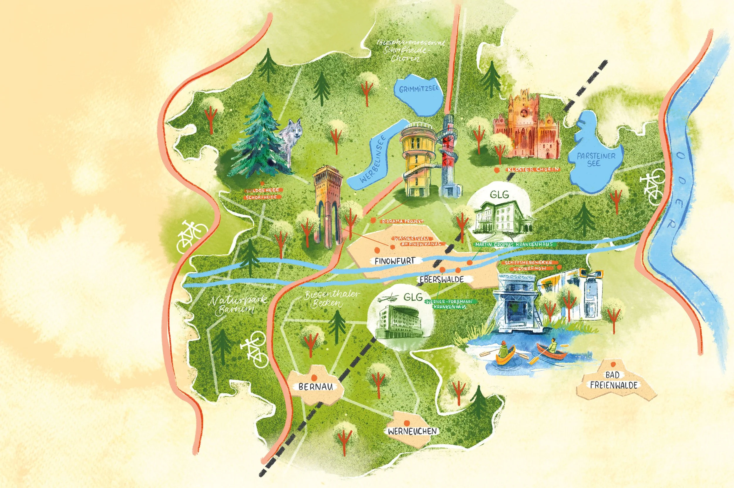
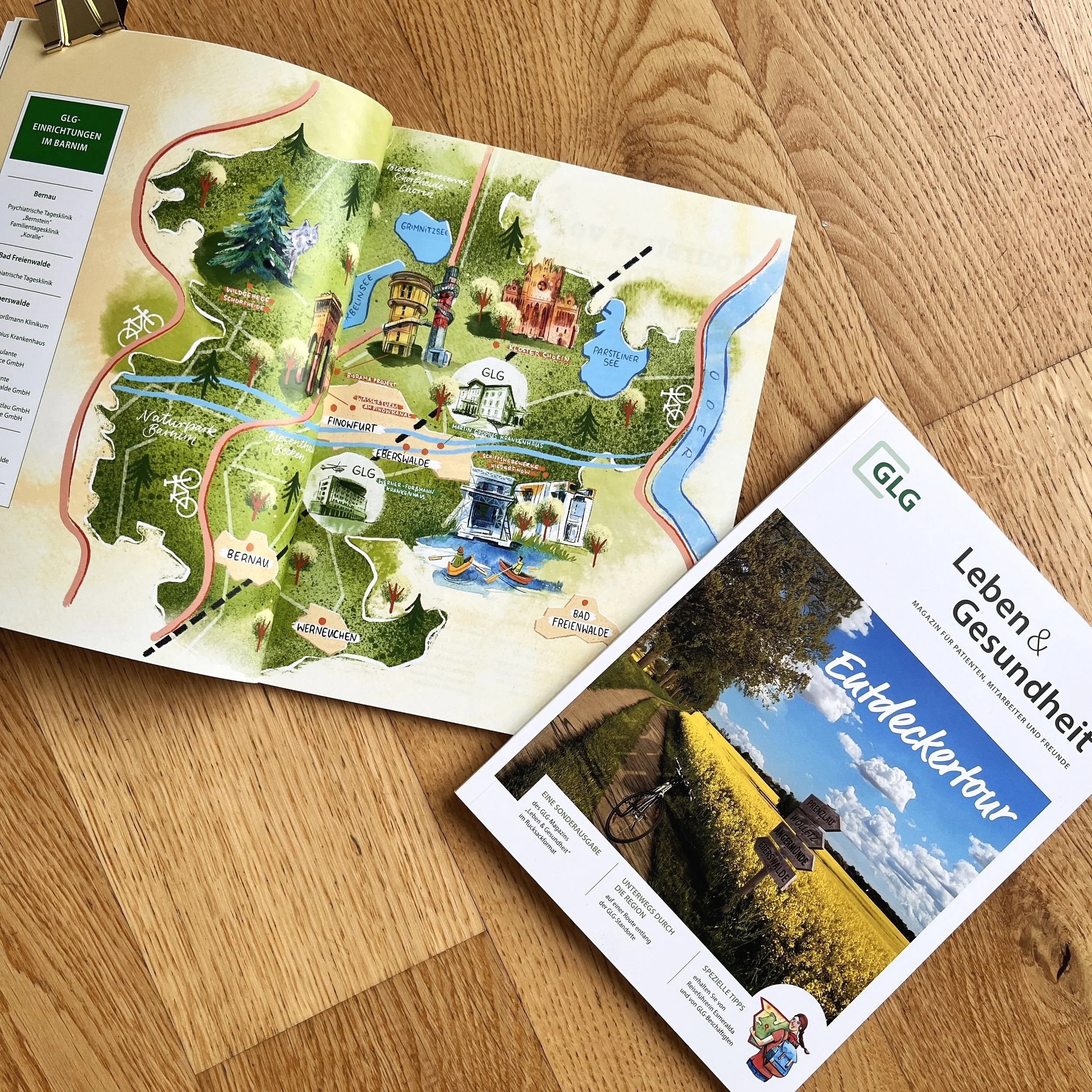
For the GLG hospitals, I designed illustrated leisure maps that give patients and visitors an overview of the most beautiful destinations in the Uckermark and Barnim districts. Using hand-drawn symbols and a vibrant collage technique, I created maps that are both informative and inviting.


Benefits and Uses of Illustrated Maps
The leisure maps are designed as detailed collages that vividly combine regional landmarks, nature experiences, and activities. In addition to the large overview map, numerous small symbols and vignettes were created that could be adapted for use on other pages and in other media.
This resulted in illustrated maps that can be used both as map illustrations in editorial design and as informational illustrations. Thanks to their modular structure, the elements could be flexibly adapted for use in flyers, patient brochures, or hospital websites—a practical added value that allows for creative freedom while saving time and money.