

Illustrated Maps for Tourism Marketing and Editorial Use
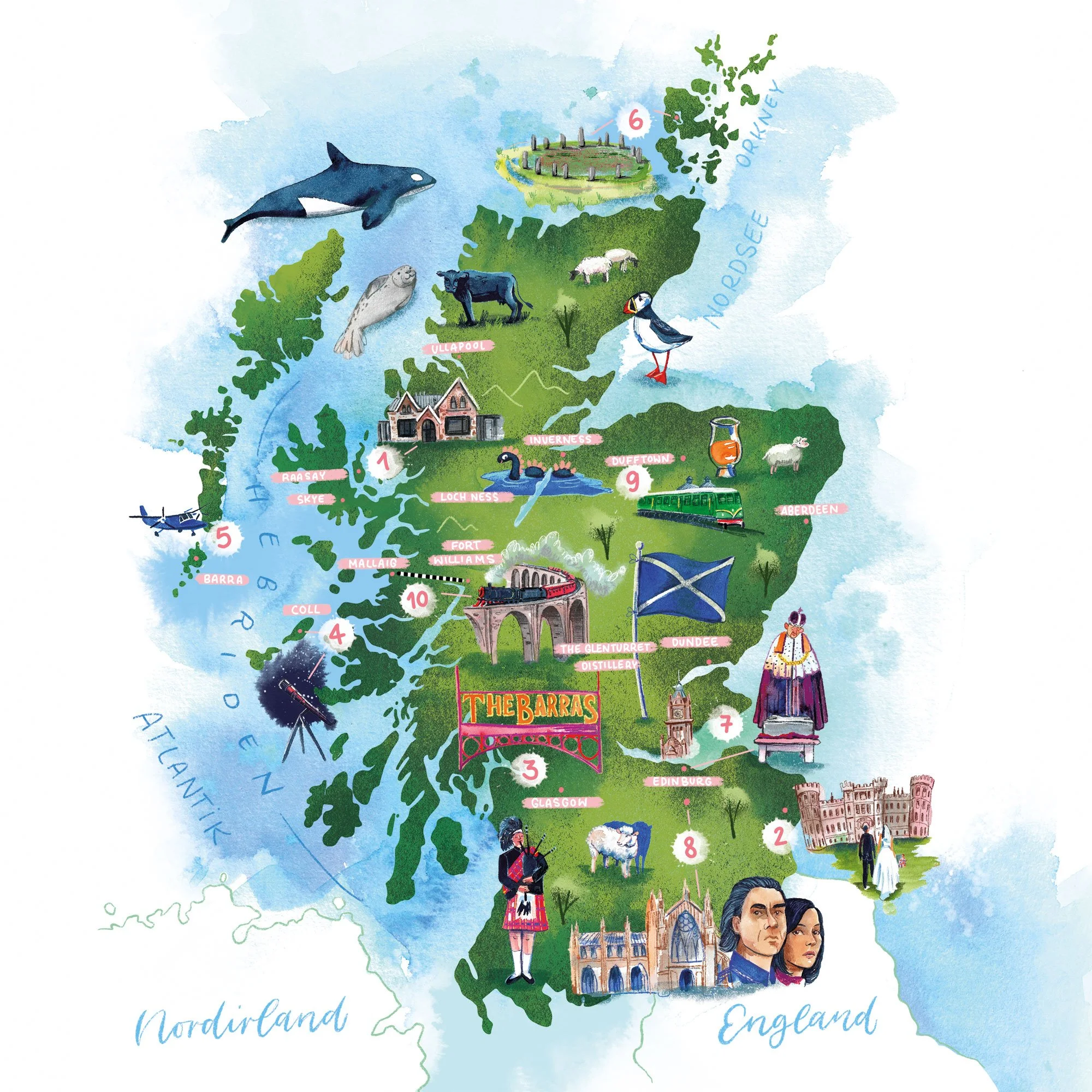
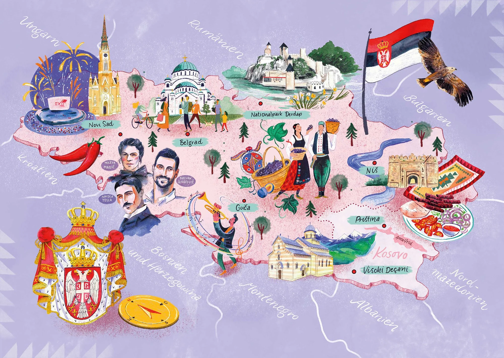
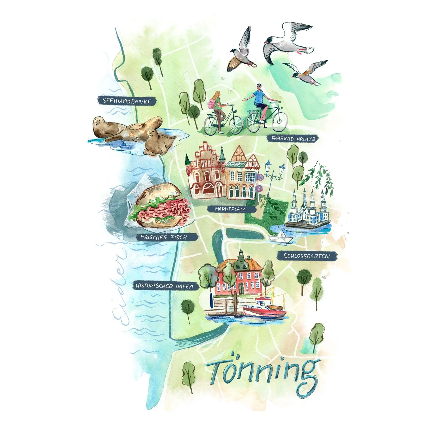
For editorial projects, cities, and regions, as well as tourism marketing, I create illustrated maps that visually present attractions, recreational activities, and regional highlights in a creative and easy-to-understand way. The maps combine hand-drawn details, collage techniques, and clear infographics, making them both informative and visually appealing.



More about illustrated maps:
Versatile for use in editorial, city, and tourism marketing
The maps were designed as detailed collage illustrations that vividly depict landmarks, natural highlights, event information, and recreational activities. The individual elements—such as symbols for attractions, trails, or recreational activities—can be reused in a modular fashion on other pages or in brochures.
This results in flexible and versatile map illustrations that are ideal for editorials, brochures, flyers, or digital applications in tourism marketing. The illustrations simultaneously provide information, guidance, and visual storytelling.